Learning Resources
Blogs
6 Min Read
Accessible and Stroller-friendly Trails Around Mount St. Helens
Jessica Becker
Pubished - July 08, 2025
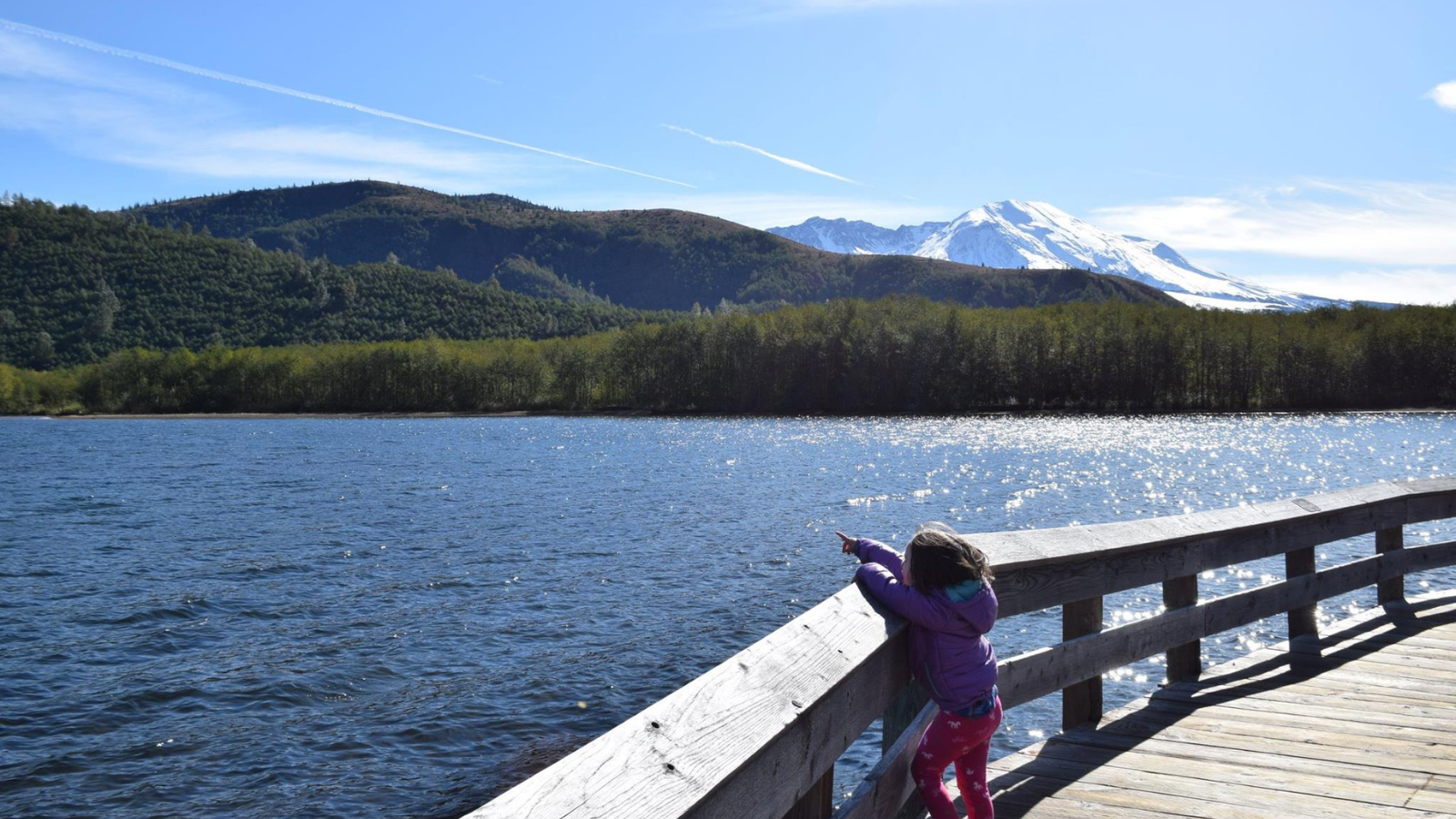
July is Disability Pride Month, so let’s highlight the accessible trails within the Mt. St. Helens Volcanic Monument. These trails are designed to be wheelchair accessible and barrier-free, making them stroller-friendly as well.
Recreation on Mt. St. Helens can be broken into three general zones:
- East Side - this is the most dramatic side, with the access road taking you through the 1980 eruption blast zone to the closest accessible viewpoint of the 1980 crater. This area is harder to reach due to distance from population centers, frequent road closures, lack of services, and weather-impacted road damage. However, if you’re able to get to the east side, the views are worth it! You will lose cell service not long after leaving Randle, which is also the last place for water, food, and gas. Before heading out, check out this video “Accessible Adventures: Mt. St. Helens East Side Attractions” and check road conditions here and here.
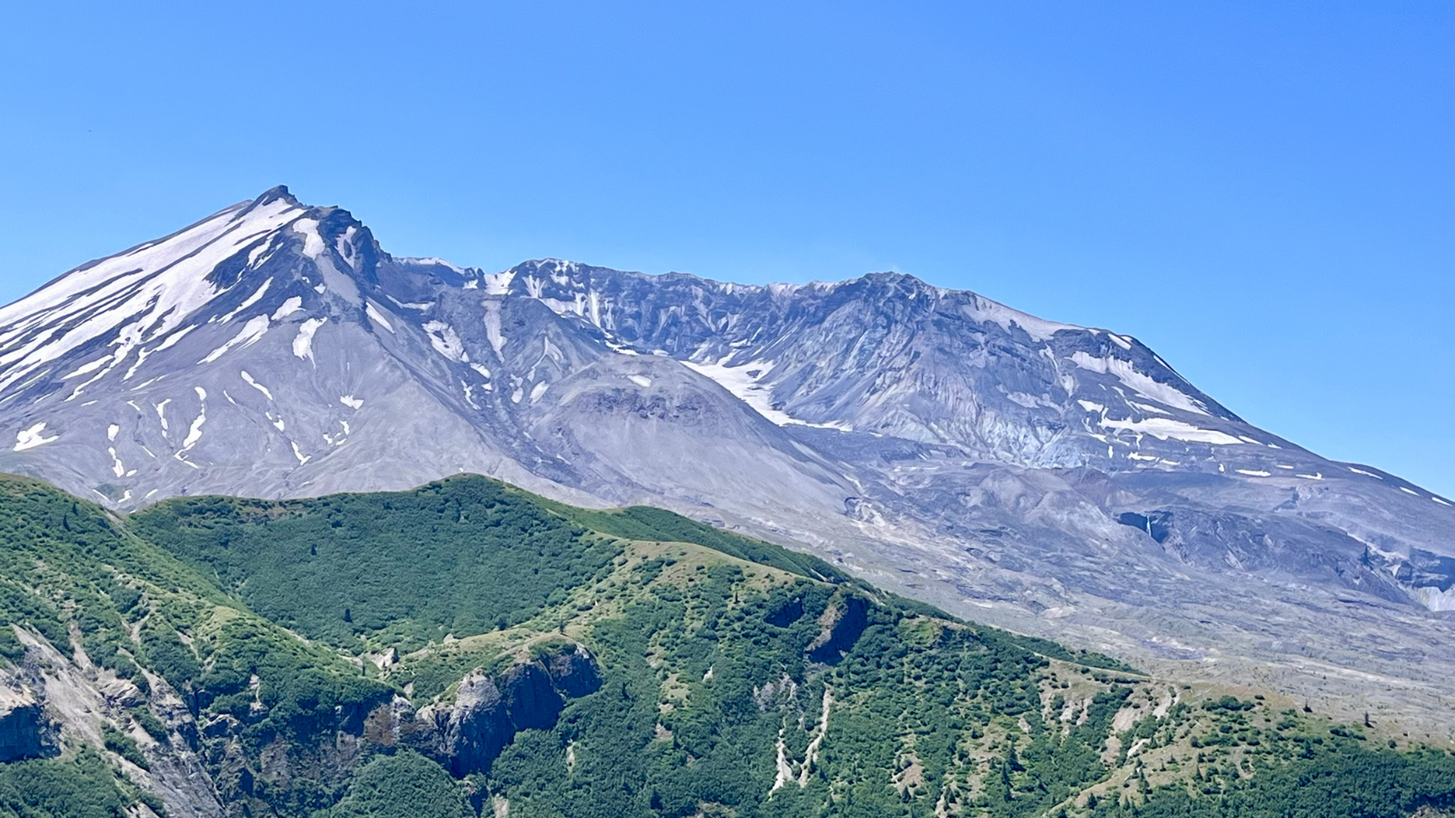
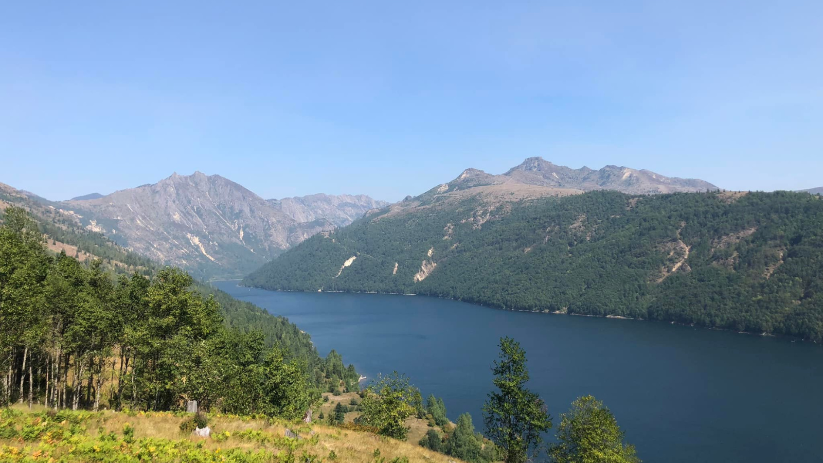
- West Side - this side has fantastic interpretive opportunities and delivers great views of the 1980 eruption blast zone and crater. You will lose cell service just a few miles east of Castle Rock, and the last place for gas and food is in Toutle. Water is available at the various learning/visitor’s centers along Highway 504 during open hours. Before heading out, check out this video “Accessible Adventures: Mt. St. Helens West Side Attraction” and check road conditions here.
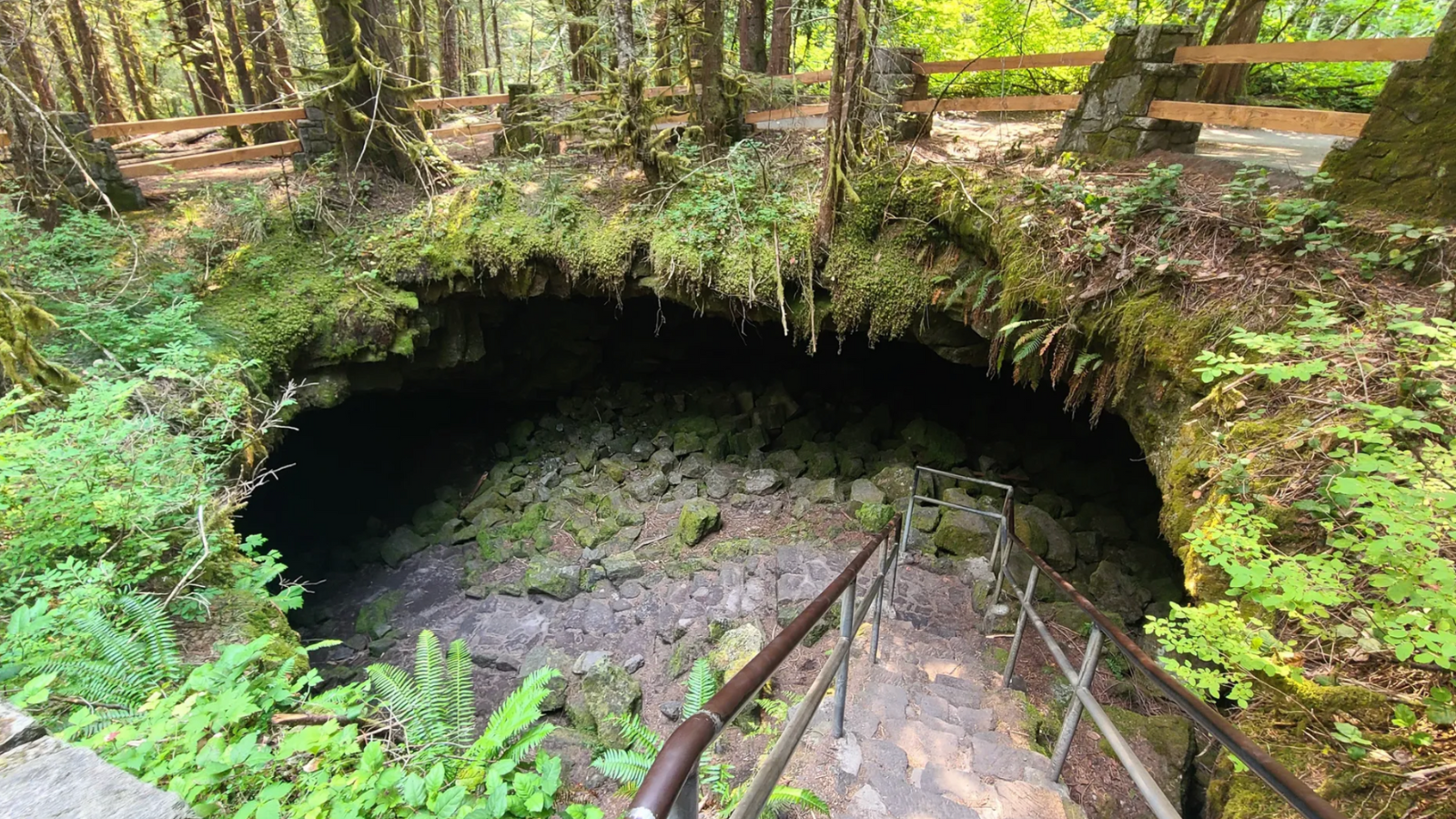
- South Side - this side is quite different from the other zones, having older lava flows (2000+ years!), big trees, a big river, and 1980 eruption mudflows. You will likely lose service in Chelatchie or just east of Woodland, depending on which route you take to the area. You may be able to find wifi at stores in Cougar, where you will also find food, water, and gas. Before heading out, check out this video “Accessible Adventures: Mt. St. Helens South Side Attractions” and check road conditions here.
Check out the information below to learn about the accessible trails in each zone!
East Side Accessible Trails
Meta Lake is such a neat hiking destination. While most of the forest on the east side of the volcano was impacted by the 1980 lateral blast, the trees at Meta Lake survived. This is because the trees were young and buried under snow during the blast.
The 0.6 mile round trip out-and-back trail takes you through rare east-side forest to a sometimes-flooded overlook of a pretty lake. Keep an eye out for tadpoles and frogs in the lake. The trail is a mix of pavement and boardwalk, although it may have overgrowth or breaks in the trail.
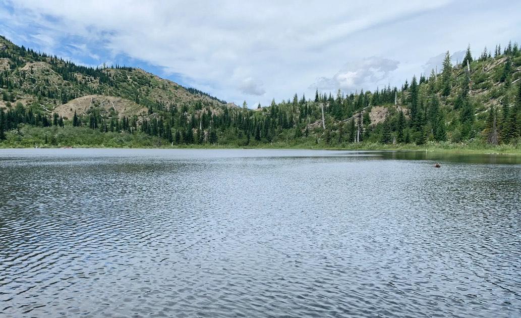
The trail is situated at 3,620 feet in elevation and is the highest elevation accessible trail around the volcano. This means that the trailhead is not open most of the year, and the access roads and trails can take quite the weather beating. Currently, the trailhead can only be accessed from the Randle area due to closures on Forest Road 25.
Before heading out, check here for road updates. If you do visit Meta Lake, be sure to drive all the way to the Windy Ridge Viewpoint and make time to visit the other viewpoints along the way. Windy Ridge offers the closest crater viewpoint, and the views are outstanding!
Vault toilets are available at the Cascade Peaks Interpretive Site and the Smith Creek Overlook . No dogs are allowed on this side of the mountain. The trailhead requires a fee to park and is located at these GPS coordinates: 46.29597, -122.077136.
West Side Accessible Trails
The Birth of a Lake Interpretive Trail, situated at around 2,500 feet elevation, is a 0.6 mile boardwalk loop trail with interpretive signs explaining how the 1980 eruption created Coldwater Lake.
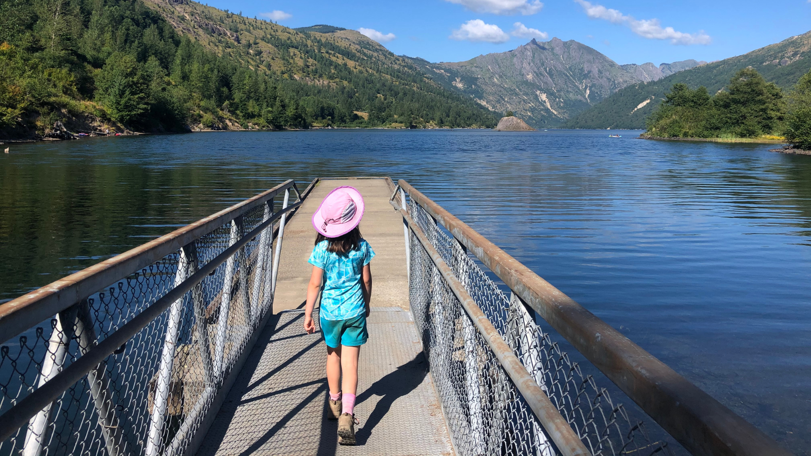
Due to its elevation, this trail is not accessible year-round and there are gate closures during the winter. Check here for the latest access information.
On your way to the trailhead, be sure to visit the Mt St. Helens Visitor Center, its adjacent 1 mile barrier-free Silver Lake loop trail (learn more in little feet hiking two), the Forest Learning Center, and the Science and Learning Center at Coldwater (the center has fantastic interpretive exhibits and offers the closest viewpoint of the crater at this time). There is also a 0.25 mile paved ADA accessible loop trail leaving from the Learning Center.
All of the aforementioned centers and the trailhead have flush toilets. Dogs are okay on leash on the Birth of a Lake Interpretive Trail. The trailhead requires a fee to park, has toilets, and is located at these GPS coordinates: 46.290668, -122.265352.
South Side Accessible Trails
The Lava Canyon Trail, located at 3000 feet, takes you along the edge of a canyon to a waterfall viewpoint. The 0.6 mile round-trip out-and-back trail is a mix of boardwalk and pavement, but it is uphill on the way back to the trailhead. There are dangerous drop-offs on the trail, so it is imperative that you stay on the trailside of the canyon barriers.
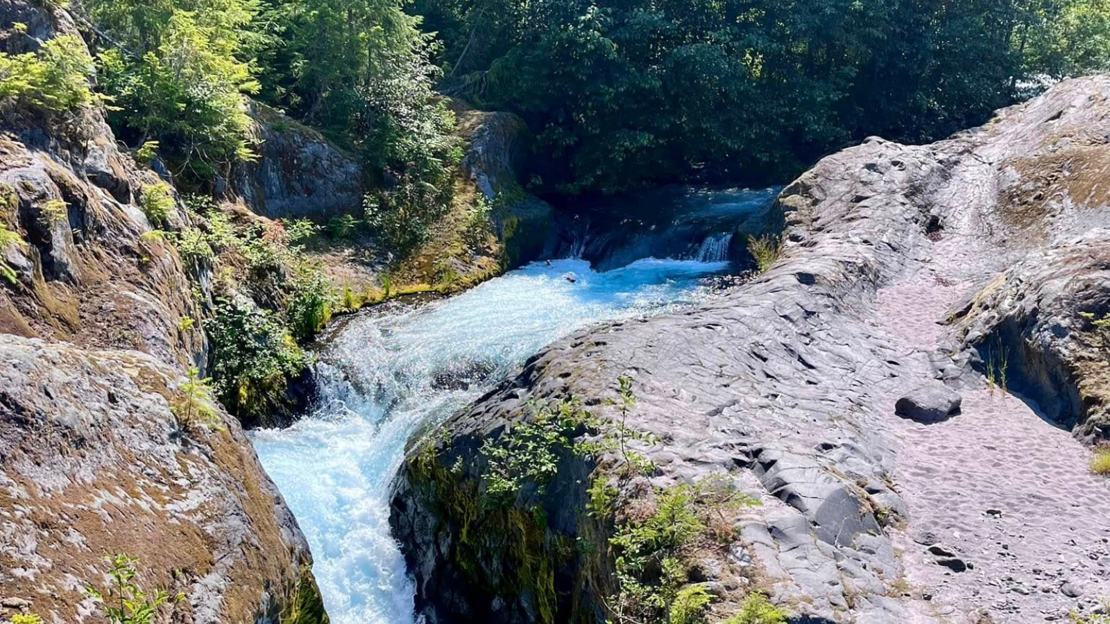
The trail has some excellent interpretive signs. Dogs are allowed on the trail on leash. The trailhead requires a fee to park, has a vault toilet, and is located at these GPS coordinates: 46.165998, -122.087105. On your way to the trailhead, make time to stop at the epic Lahar Viewpoint Interpretive Site. The road to the trailhead is paved, but may be rough in spots.
The Trail of Two Forests is a 0.25 mile boardwalk loop trail that takes you through an ancient lava flow and pretty forest. The trail, located at 1,895 feet elevation, is the lowest in elevation of the trails mentioned.
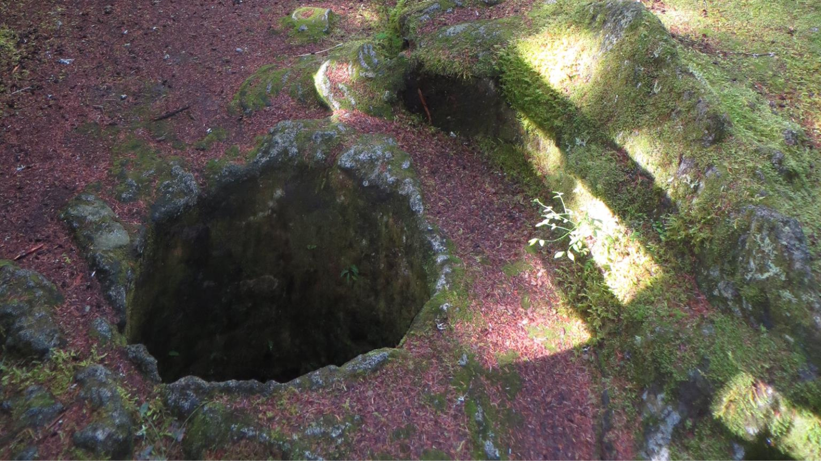
There are interesting interpretive signs along the trail, and kids will enjoy being able to crawl through a small lava tube. Bring a headlamp or flashlight if you think kids might enjoy this (although the light isn’t necessary, some kids may find it helpful). Dogs are okay on leash.
The trailhead requires a fee to park, has vault toilets and picnic tables, and is located at these GPS coordinates: 46.09935, -122.21325. Be sure to stay on the trail. The trailhead is a Washington State Sno-Park December 1 through March 30 and requires a separate pass during that time (even if there isn’t snow). If you are able to get a reservation, you can add on a short 500-foot walk on the accessible path to see the opening of nearby Ape Cave.
Other Things to Note
- All areas close to the volcano lack cell service. Have offline maps available to you, as well as directions.It is always important to come prepared. Check out this post on safety for helpful tips.
- It is advised that folks hiking on Mt. St. Helens check for volcanic activity before heading out.
Recommended Extra Gear
Remember to bring:
- Extra food and water
- 10 essentials
- Sun protection
- Mosquito repellant
- Full tank of gas
- A good map and clear trailhead directions
- Extra layers in case of cooler temperatures.
Read more in this safety and gear guide for families.
About The Author
Jessica Becker is an avid hiker and backpacker, outdoor educator, and homeschooling mom. She has written five kid-focused hiking guides and an accessible stroller-friendly trail guide for the Vancouver, WA area. Jessica is committed to sharing her love of exploring the outdoors on foot with her daughter, who is now in elementary school. Jessica has been hiking with her daughter since she was just a few weeks old, and she has encountered all the phases of hiking with a kid. Jessica has led many families on hikes and is known for blurting out "Did you know?" and trailing off on some educational topic connected to the trail they are on. "little feet hiking" guides are structured in that same way - in addition to getting the details on how to have a safe and enjoyable hike with your kids on a particular trail, Jessica also includes information on hike-specific learning opportunities. Jessica believes that this type of place-based learning helps kids have a more enriching learning experience. Get her books on Amazon or at Vintage Books.
