We use cookies to improve your website experience. Essential cookies are required for the site to function properly, while analytics cookies help us understand how visitors use our site to make improvements. You can choose to accept all cookies or only the essential ones.


CLIMBING ROUTES
Below are descriptions for the two climbing routes on Mount St. Helens: the Winter Route (aka Worm Flows) and the Summer Route (aka Monitor Ridge). Your climbing permit covers either route.
The Winter Route is open all year long and climbers may choose to climb this longer route at any time.
The Summer Route is open once the snow has fully melted from the gravel forest road leading up to Climber's Bivouac Trailhead.
Opening dates vary each year and neither the Forest Service or Mount St. Helens Institute can predict when the Bivouac will open. In 2021, 2022 and 2023, the Climber's Bivouac has opened in early to mid July, but past openings have occurred in early June.


Summer Route: Monitor Ridge
OVERVIEW
Length: ~9 miles (14.4 km) round-trip
Elevation Gain: 4,598 ft
Trailhead: Climber's Bivouac
Parking: Northwest Forest Pass (daily or seasonal) required and may be purchased online or at a vendor. Day passes may be purchased at the trailhead.
Permits: Permits are included in all MSHI guided climbs. For individual climbs, permits are purchased online at recreation.gov.
Camping: Camping in designated areas is allowed on a first-come, first-served basis
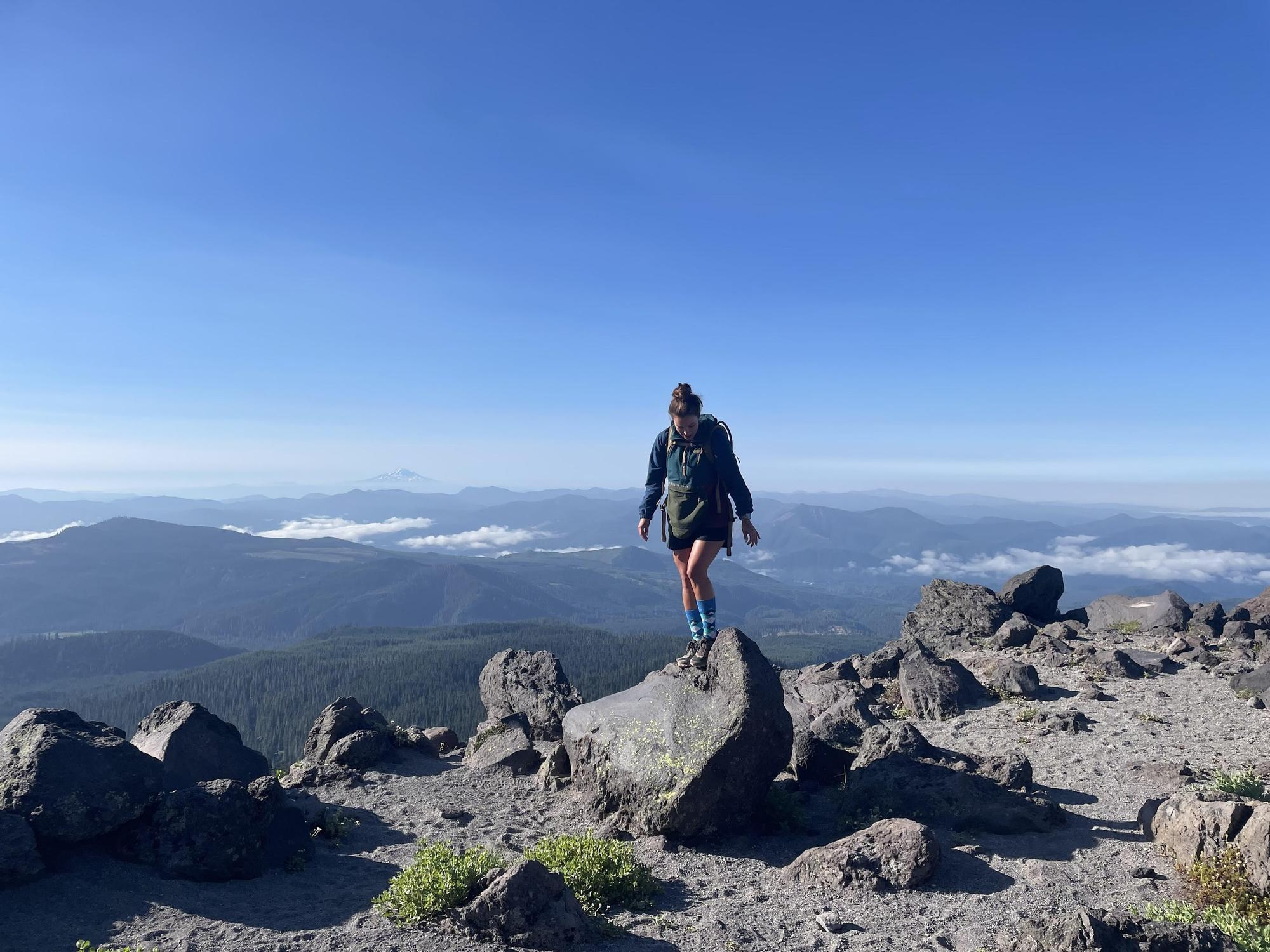
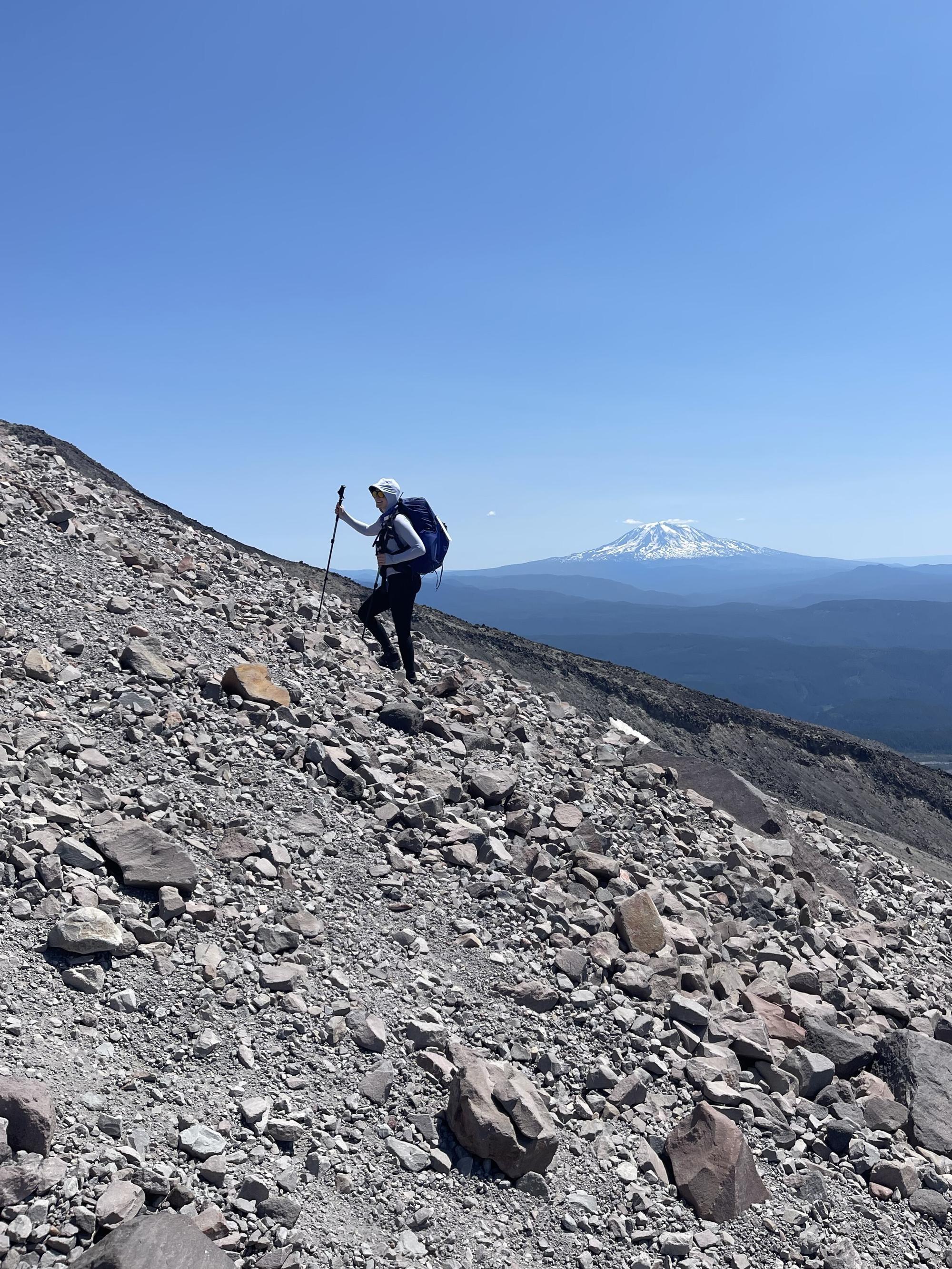
Start at the Climbers' Bivouac trailhead (elevation 3700') and follow Ptarmigan Trail (216A) for 2.1 miles, where the route meets the junction of the Loowit Trail. The vault toilet aka "last chance bathroom" is closed permanently. As the route steepens, emerge soon from the trees and get your first glimpse of the next phase of the climb, the boulders (elevation 4800'). Save your energy- the majority of the elevation gain is in the last 3 miles to the summit rim. Wooden pole cairns usher climbers along the blocky boulders of Monitor Ridge for another 2500 ft of elevation gain. You will pass Monitor Peak (elevation 5994' to the east of the route). A GPS station will appear at 7000', revealing a snake of boulders up the ridge. The final stretch is affectionately called the "Vertical Beach" and is akin to hiking a sand dune to the summit rim.
The route crests the crater's crescent-shaped rim, on a clear day revealing dramatic views of the peaks of WA and OR. Head West along the rim to the true summit, a 1/4 mile away at 8,363 feet. Savor the horizon on a clear day and descend on the route you came, following the wooden pole markers back to the trailhead.

")

")

")

")
From top left, clockwise: Junction of Ptarmigan Trail and Loowit Trail (3700'), Base of Monitor Ridge (3850'), GPS Station (7000'), GPS Station to Summit Rim (7000')

")
Summit Rim to True Summit (8313')

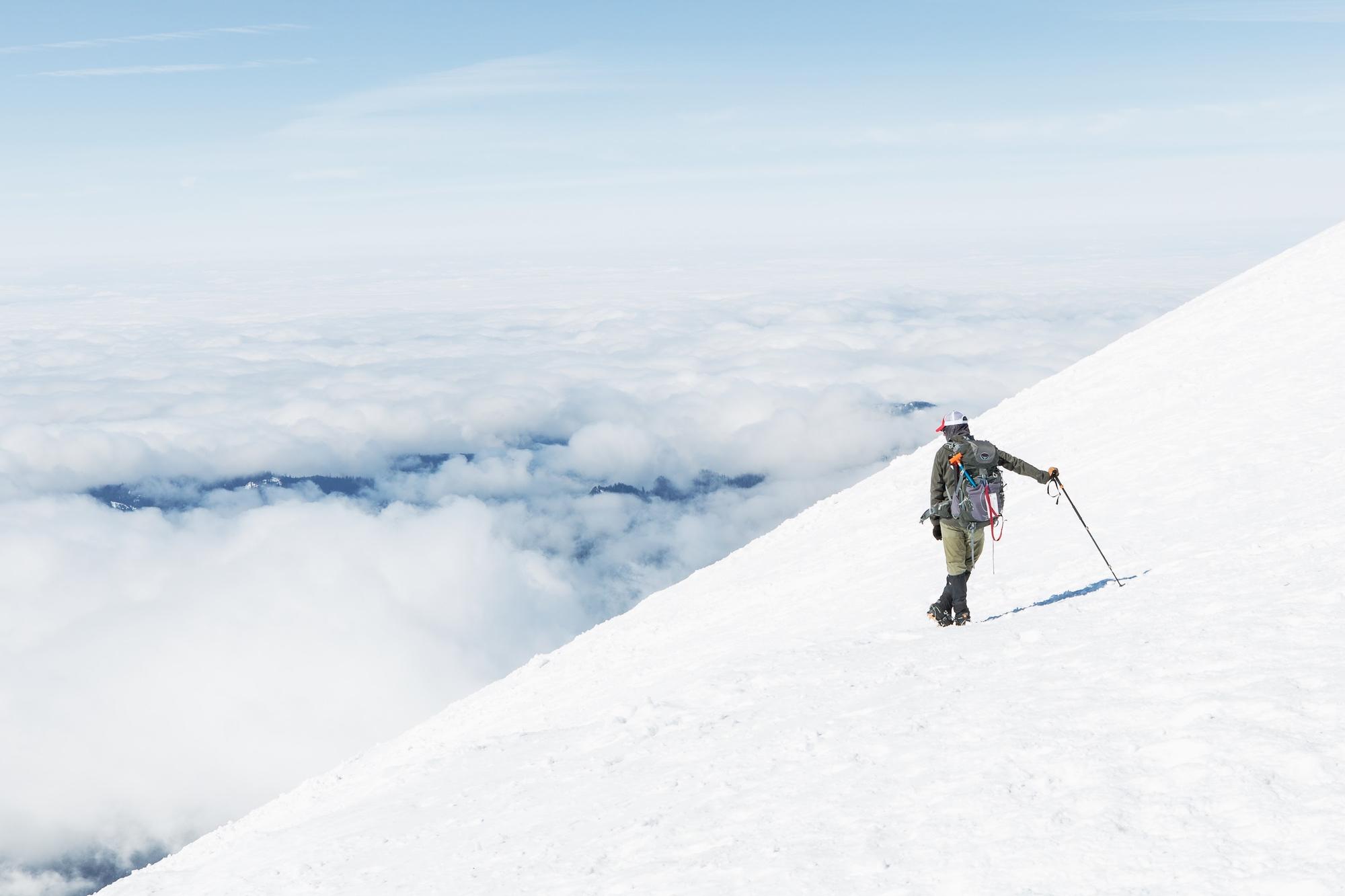
Winter Route: Worm Flows
OVERVIEW
Length: ~10 miles (16 km) round-trip
Elevation Gain: 5,563 ft
Trailhead: Marble Mountain Sno-Park
Parking: Sno-Park passes required between December 1 - March 31 and can be purchased online or in-person at a retailer. Not available at the trailhead.
Permits: Permits are included with all MSHI guided climbs. For individual climbs, permits are purchased online at recreation.gov.
Camping: Dispersed camping is allowed on a first-come, first-served basis.
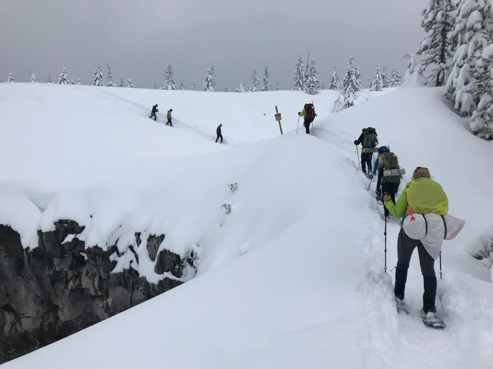
Start at the trailhead from Marble Mountain Sno-Park (elevation 2800'). About 2 miles in, leave the forest and pass views of Chocolate Falls (elevation 3700'), a 40-foot seasonal waterfall along Swift Creek, heading into a barren landscape of mudflows and rock, where wooden cairn poles guide climbers from timberline to approximately 4,800 ft elevation. Continue to snake up the jumbled lava flow ridge up to the seismic station. The seismic station (elevation 6,200') is below the snow field that leads up to the crater rim.
The route crests the crater's crescent-shaped rim, on a clear day revealing dramatic views of the peaks of WA and OR. Head West along the rim to the true summit, a 1/4 mile away at 8,363 feet. Savor more sweet views before turning around for the return trip, hugging Worm Flow Ridge and retracing your route, back to the trailhead.

")


")

")
From top left, clockwise: Marble Mountain Snow Park (2800'), Hike through the trees for 2.1 miles, Treeline just above Chocolate Falls (3700'), View from Chocolate Falls (3700')

")


")

")
From top left, clockwise: Seismic Station (6200'), Seismic Station to Rim, Summit Rim to True Summit (8313'), Summit (8363')